
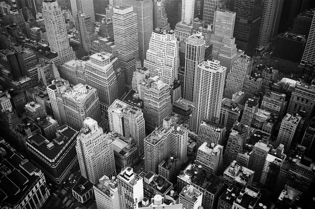
Photo from Pexels.com
New York City is full of details that are difficult to appreciate from the ground. From Manhattan’s dense skyline and Central Park’s green spaces to the busy waterfronts of Brooklyn and Queens, aerial satellite imagery offers a different perspective on the city. You can use these images to explore neighborhoods, examine properties, plan projects, or simply see familiar places from above.
Whether you are curious about a particular street or need imagery for a professional project, several tools can help you view New York City from the sky. Some are designed for casual exploration, while others let you purchase satellite images with specific locations, resolutions, and coverage areas in mind.
This guide explains how to find aerial satellite imagery of NYC, what you can use it for, and how to purchase imagery that fits your needs.
View NYC Satellite Imagery With SkyFi Rowan
SkyFi Rowan AI can help search for imagery of a specific region, neighborhood, or address in New York City. Rowan is SkyFi’s built-in AI navigator. It uses plain-language requests to find suitable imagery, explore satellite tasking options, and recommend relevant analytics.
You don’t need to know satellite terminology to get started. You could try a prompt such as “Find recent imagery of Williamsburg” or “Find available imagery of 350 Fifth Avenue.” The results will depend on the available coverage, capture dates, and imagery options.
Behind the chat interface, Rowan brings together more than 300 geospatial imagery sources and analytics partners in a searchable catalog. It can also help compare historical imagery and explore options for new captures, making it easier to examine how a waterfront site or neighborhood has changed over time.
You can use Rowan on the SkyFi platform for free, with standard fees applying to any imagery or analytics you purchase.
Use Cases for NYC Aerial Imagery
People look at New York from above for very different reasons. Here are the most common.
Check Real Estate From Above
An aerial view reveals critical details that listing photos miss, such as rooftop conditions, lot boundaries, nearby construction, parking, and proximity to transit or water. Buyers, investors, and appraisers can evaluate properties remotely before visiting in person.
SkyFi’s real estate tools streamline site selection, regional comparisons, and construction tracking. With new integrations like the SkyFi MCP server, users can search, task, and analyze high-resolution satellite imagery directly through AI applications using natural language.
Monitor the Ports of New York and New Jersey
The port complex is one of the busiest freight gateways on the East Coast, and satellite imagery is a practical way to watch it. Analysts, logistics teams, and financial firms can look at container yard density, vessel queues, and terminal activity.
SkyFi’s platform combines imagery with analytics like vessel detection and Maritime AIS to produce activity indicators for ports and logistics hubs.
Track Construction and Urban Change
New York never stops building. The New York Building Congress projects about $69.6 billion in city construction spending in 2026, increasing to $75 billion by 2027. Over the same period, new floorspace is expected to total 66 million gross square feet.
Developers, contractors, and city watchers can compare imagery over time to see how a megaproject is progressing, where demolition has cleared a lot, or how a waterfront district is reshaping itself. Regular snapshots create a visual record without sending anyone to the site.
Assess Insurance and Climate Risks
Coastal flooding is a real concern across low-lying parts of the city, as a late-September nor’easter showed when it hit parts of Brooklyn, Queens, and Staten Island. Insurers and property managers can use imagery to review assets, document conditions before and after a major storm, and understand exposure along the shoreline.
As Anke Sielker, head of the re/insurance practice at ICEYE, put it, “Satellite technology makes risk more visible, more measurable and, critically, more actionable.”
Explore Out of Curiosity
Not every satellite image needs a professional purpose. You might want a clear overhead view of your childhood neighborhood, a framed image of Manhattan, or a look at how a favorite park has changed.
Aerial views can also capture memorable city moments, such as the New York Knicks’ 2026 playoff run. High-resolution imagery showed the scale of fan gatherings and crowds filling the streets around Madison Square Garden.
How to Purchase a Satellite Image of NYC
The big satellite operators are built for governments and large enterprises. They typically require expensive, large contracts, which puts a one-off purchase out of reach for most individuals and small businesses. If you only want a single image of the Lower East Side, signing one makes no sense.
SkyFi takes a different approach. It offers one-time orders in a range of resolutions, so you can buy the image you want, whether that’s all five boroughs, a single neighborhood, or a specific street. SkyFi pulls imagery from many providers into one platform with a single agreement and transparent pricing, so you only pay for what you order.
Here’s how an order usually works:
- Define your area. Tell Rowan the borough, neighborhood, or address, or mark the area on the map.
- Choose archive or new capture. Archive images already exist and can be ordered right away. If you need something more current, you can request a new capture, and Rowan will show feasibility and timing.
- Pick a resolution. Higher resolution shows finer detail. SkyFi offers imagery as sharp as 30 cm, enough to pick out individual vehicles and building edges.
- Check the price and check out. The price is shown before you commit, and your image is delivered through the platform.
Frequently Asked Questions
Can I see a live view of New York City from space?
No. Satellites pass over a location periodically, so you’re looking at a snapshot, not a live feed. You can pull a recent image from the archive or request a fresh capture, though new captures depend on satellite passes and weather. Cloud cover over the city can delay a clear shot.
How detailed will my NYC image be?
That depends on the resolution you choose. SkyFi offers imagery down to 30 cm, which shows individual buildings and vehicles clearly. Higher resolution generally means a smaller area and a higher price, so a street-level order and a five-borough order won’t look or cost the same.
Do I need GIS experience to order imagery?
No. Because Rowan works from plain-language requests, you can describe the place you want and let it find the options. GIS teams can also use the same imagery in professional workflows, but it isn’t a requirement.
Statistics at a Glance
| Geospatial imagery sources and analytics partners available through SkyFi Rowan | 300+ |
| Projected NYC construction spending in 2026 | $69.6 billion |
| Projected NYC construction spending in 2027 | $75 billion |
| Expected new floorspace in NYC from 2026 to 2027 | 66 million gross square feet |
| Finest satellite imagery resolution mentioned in the article | 30 cm |
Viewing aerial satellite imagery of NYC no longer means negotiating an enterprise contract or learning specialized software. Tell SkyFi Rowan AI the neighborhood, address, or district you’re curious about, review the options and pricing, and order the one-time image that fits your needs.
Whether you’re sizing up a property, watching the ports, following a construction project, or just enjoying a new look at your city, satellite imagery offers a fresh view of New York from above.