Aerial drone surveys have transformed the way we gather information from the sky. Using unmanned aerial vehicles (UAVs)—commonly known as drones—equipped with cameras, sensors, or other advanced technology, these surveys offer a cost-effective, safe, and efficient alternative to traditional methods like manned aircraft or ground-based surveys. Whether it’s capturing high-resolution images, creating 3D models, or collecting environmental data, drones are becoming indispensable across many industries. In this article, we’ll dive into what aerial drone surveys are, their benefits, applications, and what the future holds for this exciting technology.
What Are Aerial Drone Surveys?
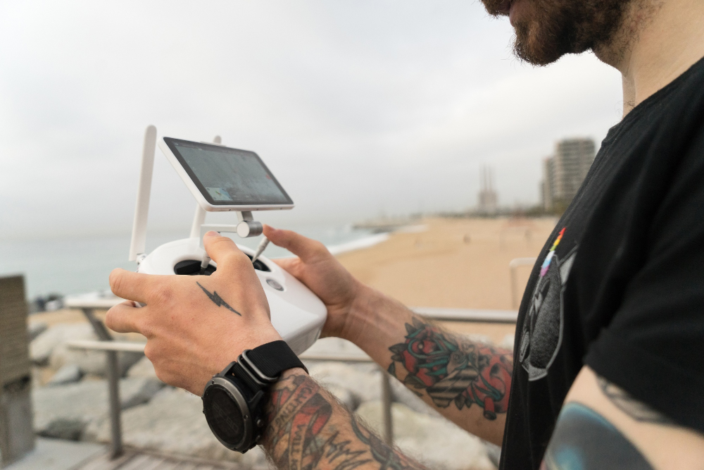
At their core, aerial drone surveys involve using drones to collect data from above the ground. A drone is a remotely controlled or autonomously operated aircraft that doesn’t require a human pilot onboard. For surveying purposes, these drones are fitted with tools like high-resolution cameras, LiDAR (Light Detection and Ranging) sensors, or multispectral imaging systems. The data they collect can be processed into detailed maps, 3D models, or other outputs that provide valuable insights.
Unlike traditional surveys that might rely on helicopters, planes, or teams of people on foot, drone surveys are quicker to deploy and far less expensive. They also excel at reaching areas that are hard or risky for humans to access, making them a game-changer in how we study and manage land, infrastructure, and natural resources.
Benefits of Aerial Drone Surveys
Why are drones gaining so much traction for surveys? Let’s break down the key advantages:
1. Cost-Effectiveness: Hiring a helicopter or plane for aerial surveys can cost thousands of dollars per hour. Drones, on the other hand, are relatively affordable to purchase or rent, and their operating costs are minimal. This makes them a budget-friendly option for businesses and organizations.
2. Accessibility: Drones can fly over rugged terrain, dense forests, or disaster-stricken areas where humans might struggle to go. Need to inspect a steep cliff or a remote wetland? A drone can handle it with ease.
3. Safety: Surveying tall structures like bridges, towers, or power lines used to mean putting people in hazardous situations—think climbing gear or scaffolding. Drones eliminate that risk by doing the job from the air.
4. Accuracy: Thanks to GPS technology and advanced sensors, drones can capture precise measurements. This level of detail is perfect for creating accurate maps or models, which is critical in fields like land surveying or urban planning.
These benefits make aerial drone surveys an attractive choice for anyone needing reliable data without breaking the bank or putting people in danger.
Applications of Aerial Drone Surveys
Aerial drone surveys are incredibly versatile, with practical uses in a variety of industries. Here are three key examples:
1. Construction
In construction, drones are a project manager’s best friend. They can monitor progress by taking regular aerial photos, giving a bird’s-eye view of how a site is developing. This helps spot delays or issues early on. Drones also inspect hard-to-reach spots for roofers —like rooftops or structural beams—without the need for risky manual checks. Plus, they can generate topographic maps and 3D models of a site, aiding in planning and ensuring everything stays on track.
Example: Imagine a team building a new highway. A drone can fly over the site weekly, capturing images that show exactly how much earth has been moved and whether the deadline will being met.
2. Agriculture
Farmers are turning to drones to boost efficiency and maximize yields. Equipped with multispectral sensors, drones can monitor crop health by detecting subtle changes in plant color or vigor—signs of pests, disease, or nutrient deficiencies. They can also map soil moisture levels to check irrigation systems for leaks or inefficiencies. With this data, farmers can plan smarter planting strategies tailored to their land’s unique conditions.
Example: A farmer notices a patch of wilting crops. A drone survey may reveal that it’s due to poor irrigation in that area, allowing them to fix the problem before it spreads.
3. Environmental Monitoring
Drones are a powerful tool for conservationists and researchers. They can track changes in ecosystems—like deforestation or coastal erosion—by capturing detailed images over time. They’re also used to monitor wildlife, counting animals or studying their habitats without disturbing them. After natural disasters like floods or wildfires, drones assess damage to both nature and infrastructure, providing critical data for recovery efforts.
Example: After a wildfire, a drone can survey the land to see how much vegetation was lost, helping scientists plan restoration projects.
These examples show just how broad the impact of drone surveys can be, from building our cities to protecting our planet.
How Aerial Drone Surveys Work
Conducting a drone survey isn’t as simple as pressing a “fly” button—it’s a multistep process that requires planning and precision. Here’s how it typically goes:
1. Planning: Before takeoff, surveyors map out the flight path. They decide the area to cover, the altitude, and the resolution needed for the data. They also check local regulations—some areas require permits or have no-fly zones.
2. Flying: Once the drone is calibrated and its sensors are ready, it’s launched to follow the planned route. The drone captures images or data at set intervals, guided by GPS for accuracy.
3. Data Processing: After landing, the raw data—whether photos, LiDAR scans, or multispectral images—is uploaded to specialized software. This software stitches the data together into useful outputs like maps, elevation models, or 3D visualizations.
Think of it like taking hundreds of puzzle pieces from the air and assembling them into a clear picture on your computer. The result is a detailed, actionable view of the surveyed area.
Conclusion
In many ways, aerial drone surveys are the modern equivalent of the microscope for our planet. Just as the microscope unveiled the intricacies of the microscopic world, drones are revealing the complexities of our landscapes, infrastructure, and ecosystems from above. They serve as powerful tools of discovery, efficiency, and sustainability, providing insights that were once out of reach for many. As this technology continues to evolve, we are bound to find ourselves at the threshold of a new era in surveying.